What is Landscape Photomontage?
Photomontages are now a well-established technique to illustrate design proposals in the landscape. They usually use photo-editing software to produce a realistic impression and often support Landscape and Visual Impact Assessment (LVIA) as part of Environmental Impact Assessments (EIA) and Proofs of Evidence at Planning Inquiries.
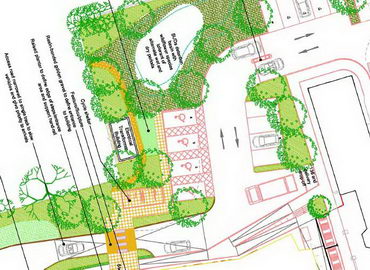
Vector Drawing
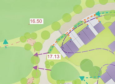
This is a simpler form of photomontage, involving computer “drawing” with outlines, gradients and textures to produce quick impressions of designs. It can range from basic to quite sophisticated images, such as the design proposal around Hull’s architecture centre “ARC” (see case studies).
Photographic techniques to extend photomontages
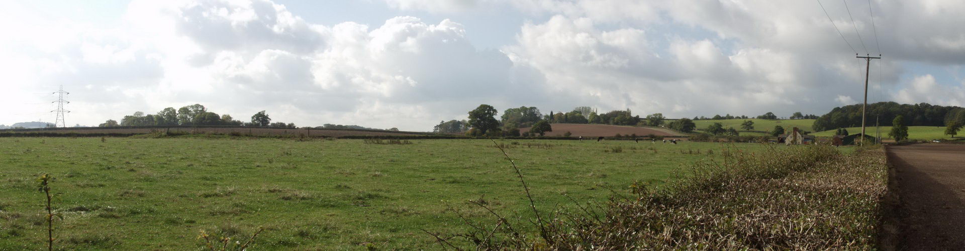
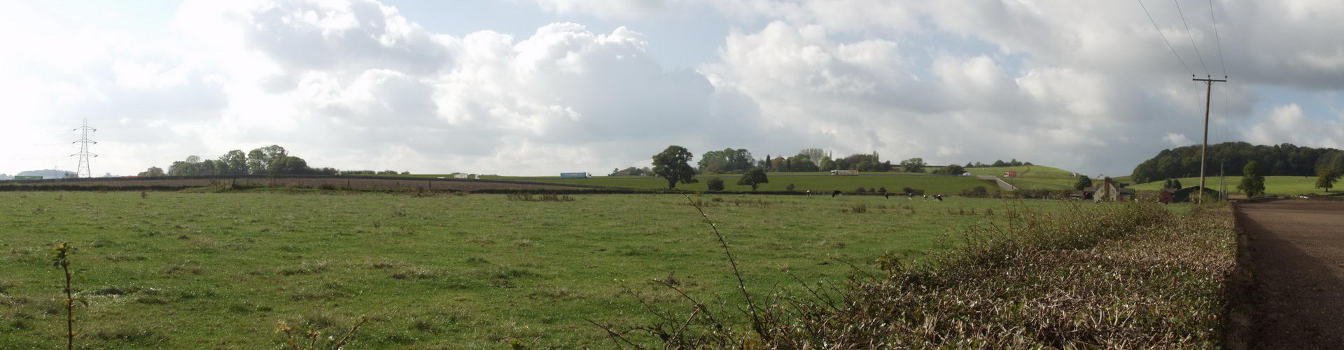
Pole-mounted and drone photography
The ARC image demonstrates another useful technique. Photos taken with elevated cameras allow proposals to be seen in context and, in many cases, to be better-understood than equivalent ground-level views.
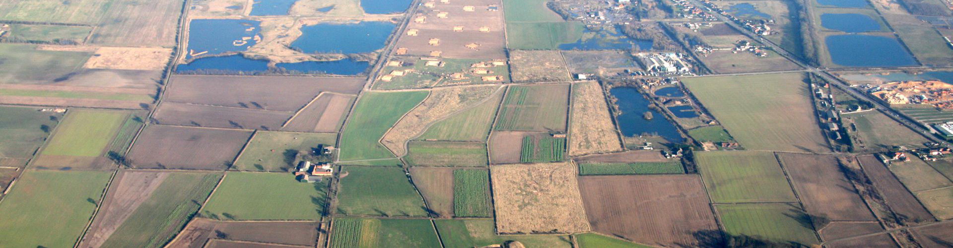
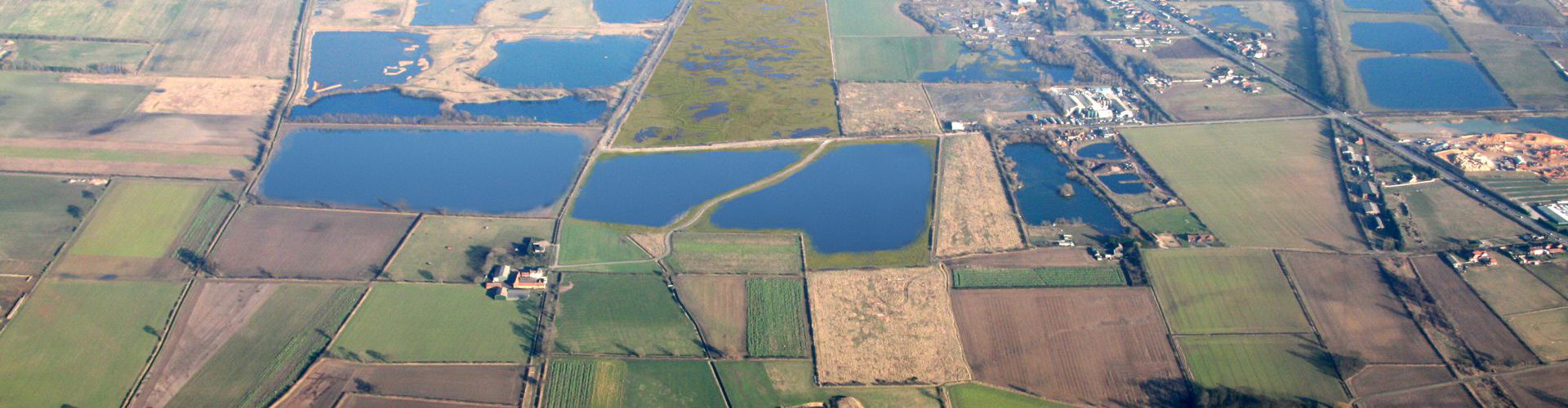
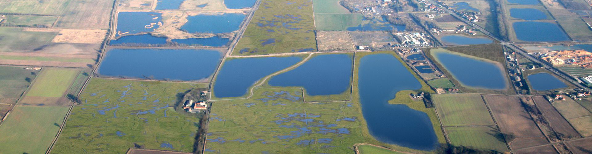
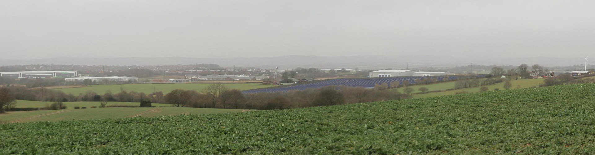
Aerial Photography
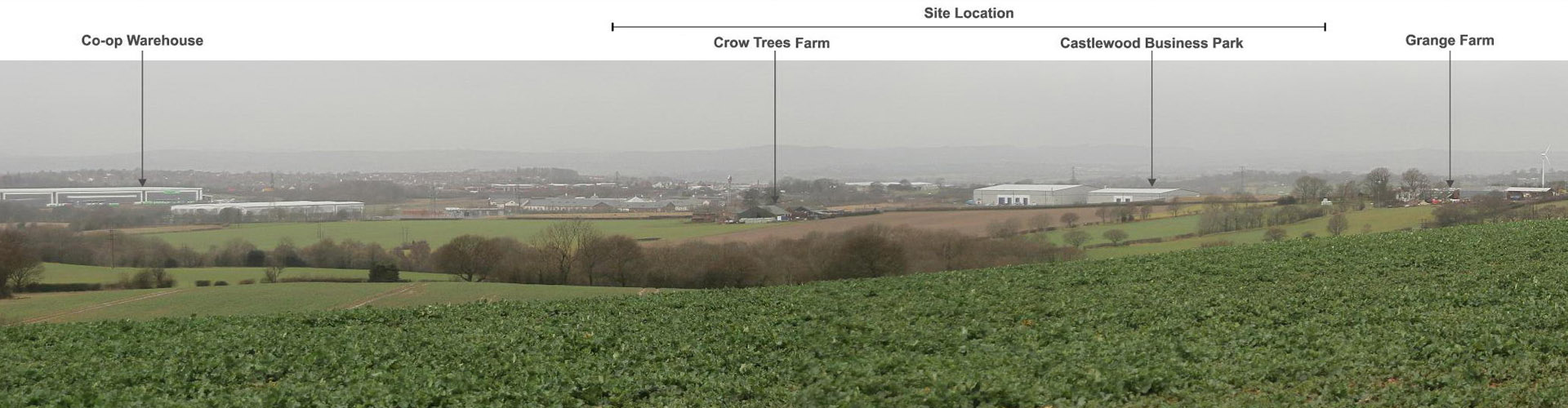
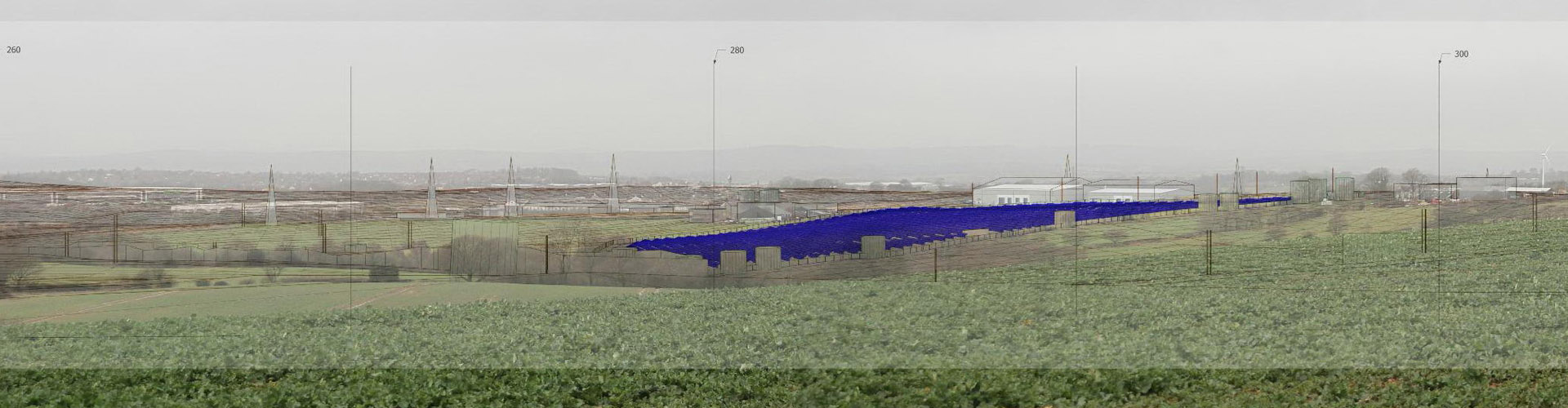
Full aerial photos are ideal for showing landscape-scale changes. Indeed no other technique will provide a more comprehensive overview of a site and its landscape context. See the North Cave Wetlands (Aerial) photos and the Natural England Norfolk Broads as examples.
Why 2B?
Over long experience, we have developed techniques to give your photomontages appropriate levels of accuracy, which can be relied upon by decision-makers and stakeholders.
We continue to develop our knowledge, which is aided and recognised through Bill's position on the Landscape Institute's Technical Committee, where he has contributed to the LI's guidance on Visualisation of Development.
2B’s technical standards, communications and overall approach were excellent and they delivered all the project requirements to time and budget with consummate professionalism. I would have no hesitation in using 2B again or in recommending 2B for similar work.