Burnett House proposal, Castle Street, Hull
When a developer wanted visualisations to respond to heritage concerns around a development near to the Minster in Hull, we were aware that Google Earth has an effective and accurate 3D model of Hull city centre. It was possible to take the architect's design and import it into Google Earth. Some care is needed to obtain the correct viewpoints and fields of view, but the result is a comprehensive model of the development and its setting.
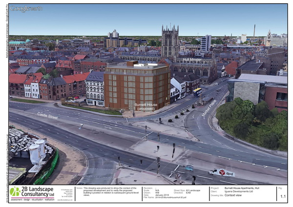
This overview shows that the proposal is correctly located in its setting and gives confidence in the ground-level views
Google Earth can also produce a basic ZTV which takes account of inserted models, so can show the extent of any visual obstruction arising from the proposal.
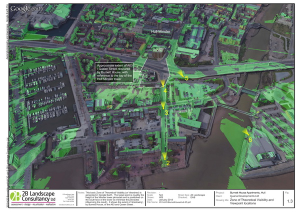
This simple ZTV showed the extent to which the proposed building would obstruct views of the Minster tower
Hull City Planning and Conservation officers were content that the development would not unduly affect views of the Minster, and the application was approved.
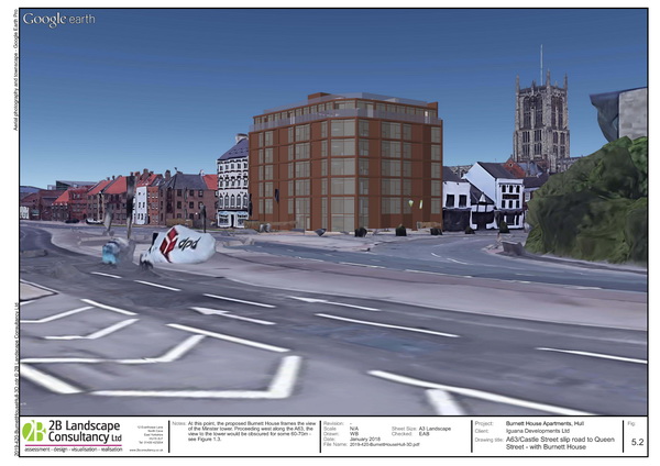
A more typical ground level view shows the proposal against its backdrop, with the Minster to the right
The client summarised our input as:
"Very knowledgeable and very efficient. Excellent work."
Cycleway Visualisation
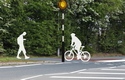
A different approach was suitable for visualising two different cycleway projects, one in Renfrew, one in Flintshire. The requirement was simply to indicate the type of changes that would be required to incorporate cycleways into a range of urban to rural locations. We used simple outlines to convey both the change of layout and the way in which the facility might be used by cyclists and pedestrians.
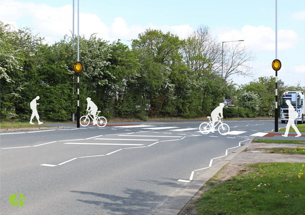
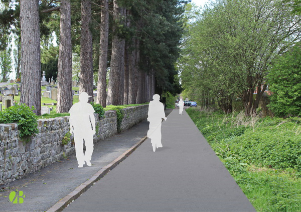
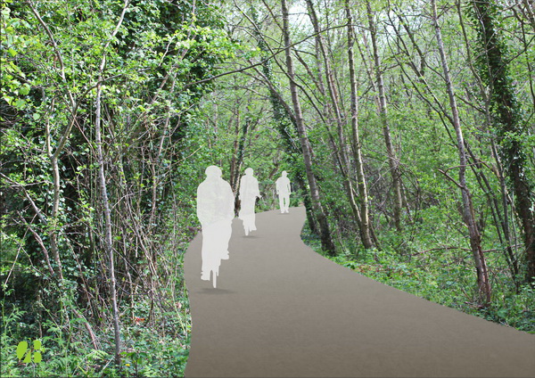
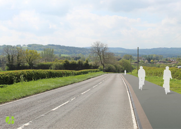
These visualisations used our client's photos, so were cost-effective, if not quite to the photographic standards that we would normally set.
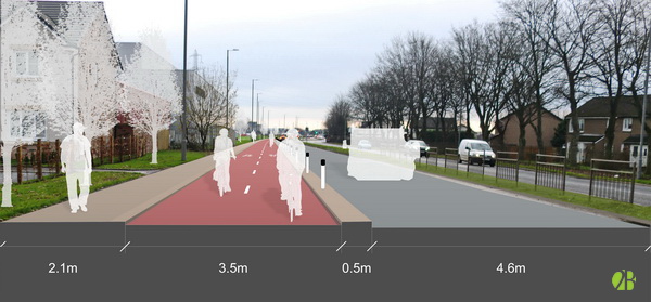
Suffice to say that they explained the proposals, simply but clearly - job done!
Bill Blackledge, BA DipLA CML